About the product
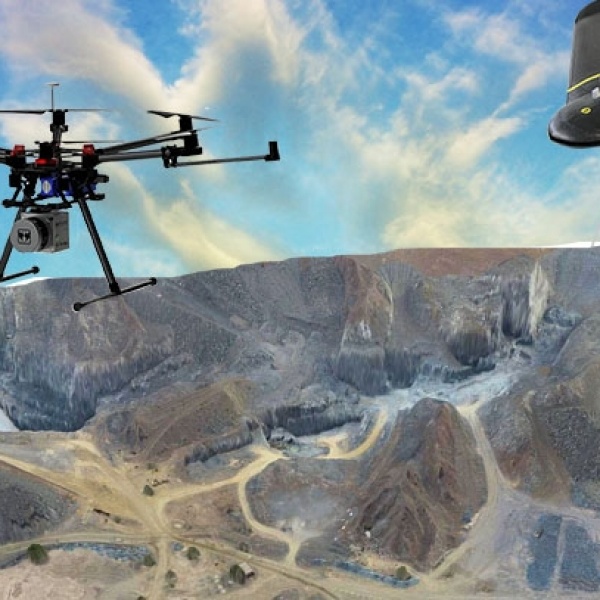
Aerial Surveying and Geo-mapping -UAV(Drone)
Our aerial data capture & data processing solutions enable us to deliver imaging data more quickly than ever before, ultimately saving our clients time & cutting project costs.
We capture high-resolution aerial image data with confidence in our precision & accuracy by pre- planning our missions and field checking for accuracy while on-site.
We can reduce the need for control points by using direct geo-referencing & advanced aerial
triangulation & photogrammetry software such as Pix4D, Autodesk Recap360 & more.
With our proprietary field & office processes, we have proven to increase the efficiency of our flight
operations & data processing through streamlined workflows & high levels of automation, increasing safety & expediting product deliverables
Industries
Construction
Agriculture
Mining
Inspection
pipeline r.o.w. monitoring
Leak detection inspection
Land surveying
Topographic mapping
Aerial photogrammetry
Environmental monitoring
Contact with supplier