About the product
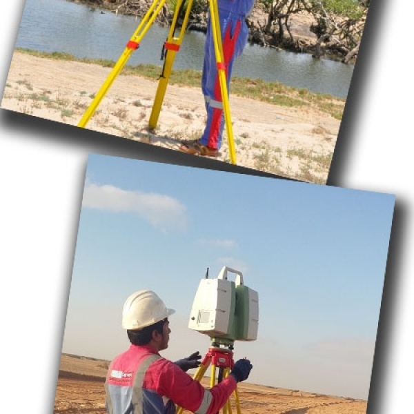
3D Laser Scanningis fast becoming the industry norm for precision surveying in high precision and high value technical environments. As one of the first companies to adopt Laser Scanning technology, we are one of the most experienced.
• Remotely capture data from potentially hazardous sites, e.g. motorways or structurally unsafe buildings
• Fast data capture; critical on sites with limited access
• Complete data collection enables further investigations to be carried out later on without
costly returns to the site
• Reduces the costs and downtime associated with construction rework, site revisits and
field changes
• Lower cost as-built and topographic survey method compared to alternatives
• Improved accuracy and precision reduces the risks associated with project execution
• Highly-detailed data improves decision-making and engineering designs
• Enables factory fabrication, as opposed to field fabrication
• Enables 3D Modelling and Building Information Modelling (BIM)
Contact with supplier